Desolation Path
Sounds pretty intimidating
24 km of rocky trail up to 5600 ft on the side of a volcano
and down to the lake along the beach
to add to the fun - inches of ash from the last eruption (Calbuco in April 2015)
horse flies from Jurassic Park (fortunately they only live for 3 weeks in January) and the blistering sun which is particularly intense here as the ozone layer is a bit thin.
The journey starts at the Refugio in La Picada which is on the north side of the Volcano Osorno in the Parque Vicentes Perez Rosales There is free parking here and sometimes a little cafe is open.
Here is the start of the trail - not for the faint of heart
The first 4 km is all uphill and very rocky - impassable by car though I think it once was. Jimmy told me they carried their bikes up to the top of the trail at 5600 ft. The sign says high difficulty and walking it would be 10 hours down to the lake and back.
Typical terrain on the way up
At the top!
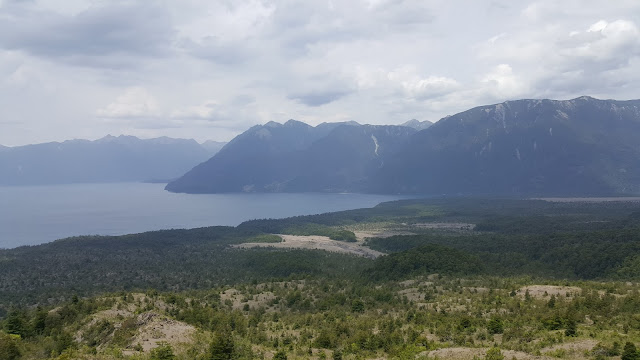
Worth the work to get up here! A fabulous view of Lago Todos Los Santos and east to Argentina
You can see Samuel & Andrew on their bikes on the bottom center right
On the right you can see the river heading out of the lake to the sea and there at the head of the river is the small town of Petrohue which is the end of the Sendero.
They made it to Petrohue in 3 hours sunburned and fly bitten but happy for the challenge they conquered. Not much in Pertrohue but a beautiful lodge, a museum, post office, and an office for the ferry and boat tours. More on that in another post!


No comments:
Post a Comment